


Fort of Saint Anthony
Coordinates
Geographical: 37ş7'18'' N, 7ş37'17'' W
Decimal (GPS): 37.121638,-7.621502
Fort of Saint Anthony
Also known as Forte do Rato (fort of the mouse) and Forte da Ilha das Lebres (fort of the island of the hares), Forte de Santo António was built in the second half of the 16th century, at the entrance of the river Gilăo, with the purpose of defending the port of Tavira.
In the context of the War of Restoration (after 1640), it was remodelled to complement Fort of Săo Joăo da Barra, which was founded in 1672.
Featured
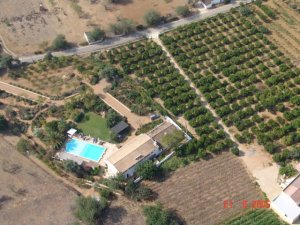 Quinta da Lua
Santo Estęvăo, Tavira
$$$$ (100 to 150 euros)
Just four kilometres from Tavira, you can enjoy the intimate Quinta da Lua and its beautiful surroundings. Inside, you will find a successful blend of modern and traditional decor of rough terracotta floor tiles and beamed ceilings.
Best deals